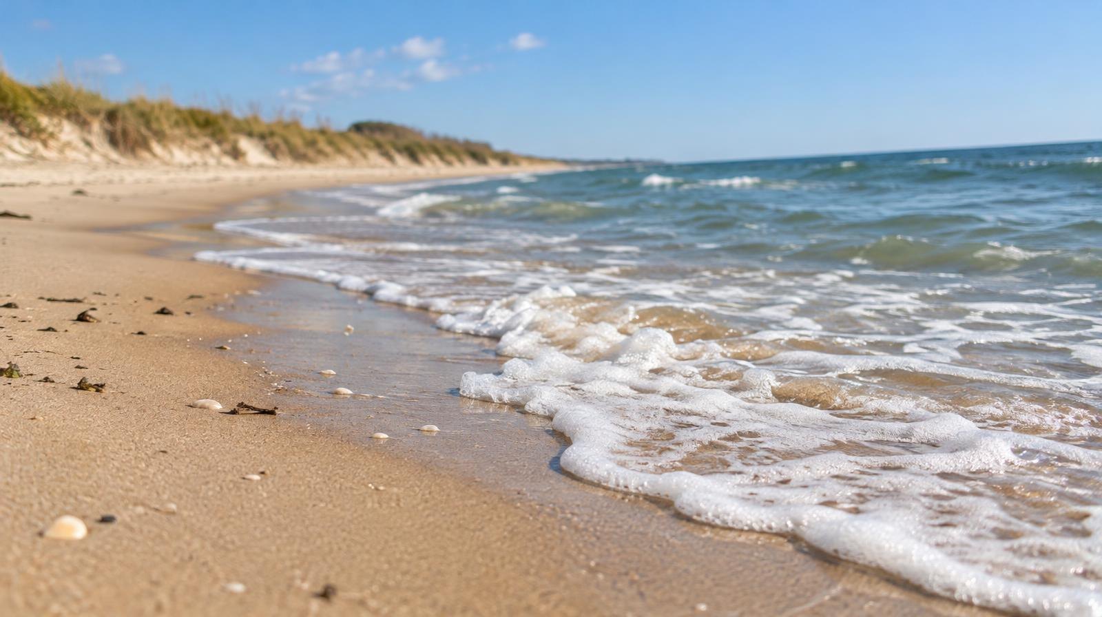
Amelia Island is losing sand faster than nature or engineers can replace it, and decades of building close to the water have left the 13-mile barrier island with shrinking room to adapt.
That is the central argument in a Fernandina Observer analysis by Angela Ray, published Nov. 7. Ray describes how barrier islands naturally migrate inland over time, driven by wave action, longshore currents, wind and tides. On Amelia Island, she writes, heavy development has consumed the secondary and tertiary dune systems that once gave the shoreline room to shift.
"With so much development on Amelia Island, we are running out of room to be flexible or move out of the way of natural events," Ray wrote. She called for coastal buffer zones, arguing the island "can no longer justify building so close to dynamic water systems like coastlines and rivers."
Fort Clinch State Park is the rare exception where those interior dunes remain intact, according to Ray's account.
Jetties and sand starvation
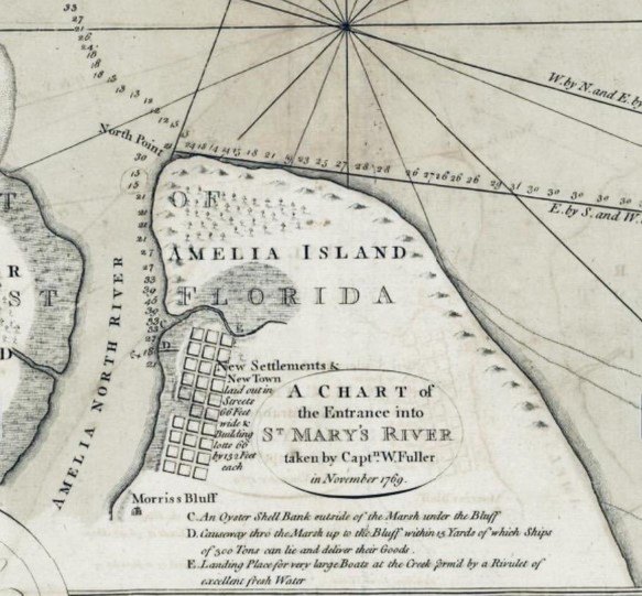
A key factor compounding erosion on the island's north end: the jetties built to protect the St. Marys River entrance. The channel serves Naval Submarine Base Kings Bay in Georgia. Ray wrote that sand gets trapped on the Cumberland Island side, and the dredged channel between the islands blocks the natural southward migration of sand to Amelia Island. The result, she wrote, is beach erosion and sand starvation on the island's north end.
Three erosion zones
The island's shoreline breaks into three distinct zones, according to the South Amelia Island Shore Stabilization Association. The northern beaches near Fernandina Beach and the southern beaches both experience ongoing erosion. The central stretch, running roughly from the Ritz-Carlton through American Beach, has remained stable and has not received direct sand placement since the early 1990s.
The numbers on the south end tell the story. Survey comparisons showed that by 2020, 80% of the sand placed during a 2011 renourishment had eroded. The northern portions lost more than 100% of their fill, meaning erosion cut into the original dune system behind the placed sand.
SAISSA has managed south-end renourishment since an initial restoration in 1994, followed by maintenance rounds in 2002, 2011 and 2022. The interval between projects has lengthened from eight to 10 years over the project's life.
Federal project on the north end
On the north end, the U.S. Army Corps of Engineers mobilized in April 2025 for a renourishment of roughly four miles of Fernandina Beach shoreline, according to a USACE news release. The project called for dredging approximately 750,000 cubic yards of sand from a borrow area south of the St. Marys entrance channel. Construction was projected to run through mid-August 2025. USACE stated it would cover 100% of the project costs.
Periodic nourishment on that stretch is expected on five-year cycles, determined by storm impact, wave erosion and sea level rise, according to the Corps.
Erosion versus sea level rise
Research cited by SAISSA adds a wrinkle for residents focused on rising seas. Dr. James Houston, director emeritus of the USACE Coastal Hydraulics Laboratory, found that for Nassau County, the negative effects of shoreline change from longshore sand transport are "more than twice the negative effects of projected sea level rise 'at the upper uncertainty limit of the worst IPCC scenario,'" according to SAISSA's summary of his work.
Beach nourishment can help offset sea level rise on the ocean side, SAISSA stated, but it does not protect against rising water on the island's marsh side.
Ongoing costs
The SAISSA Board of Trustees, at an Aug. 12, 2026, meeting, recommended capital and maintenance assessments totaling roughly $996,500 for the fiscal year to the Nassau County Board of County Commissioners. The Nassau County BOCC's Sept. 14, 2026, agenda included approval of an amendment to a state agreement for south Amelia Island beach nourishment and a resolution to continue sponsoring the shore stabilization project.
Nassau County's hazard mitigation plan, approved in early 2026, describes Amelia Island as rising just 20 to 25 feet above sea level, with salt marshes and poor drainage on the west side and dunes and sandy beaches facing the ocean.
Ray, who wrote that she has observed 26 years of change on local barrier islands, put it plainly: "Trying to make an impermanent shoreline permanent will only be temporary and expensive."