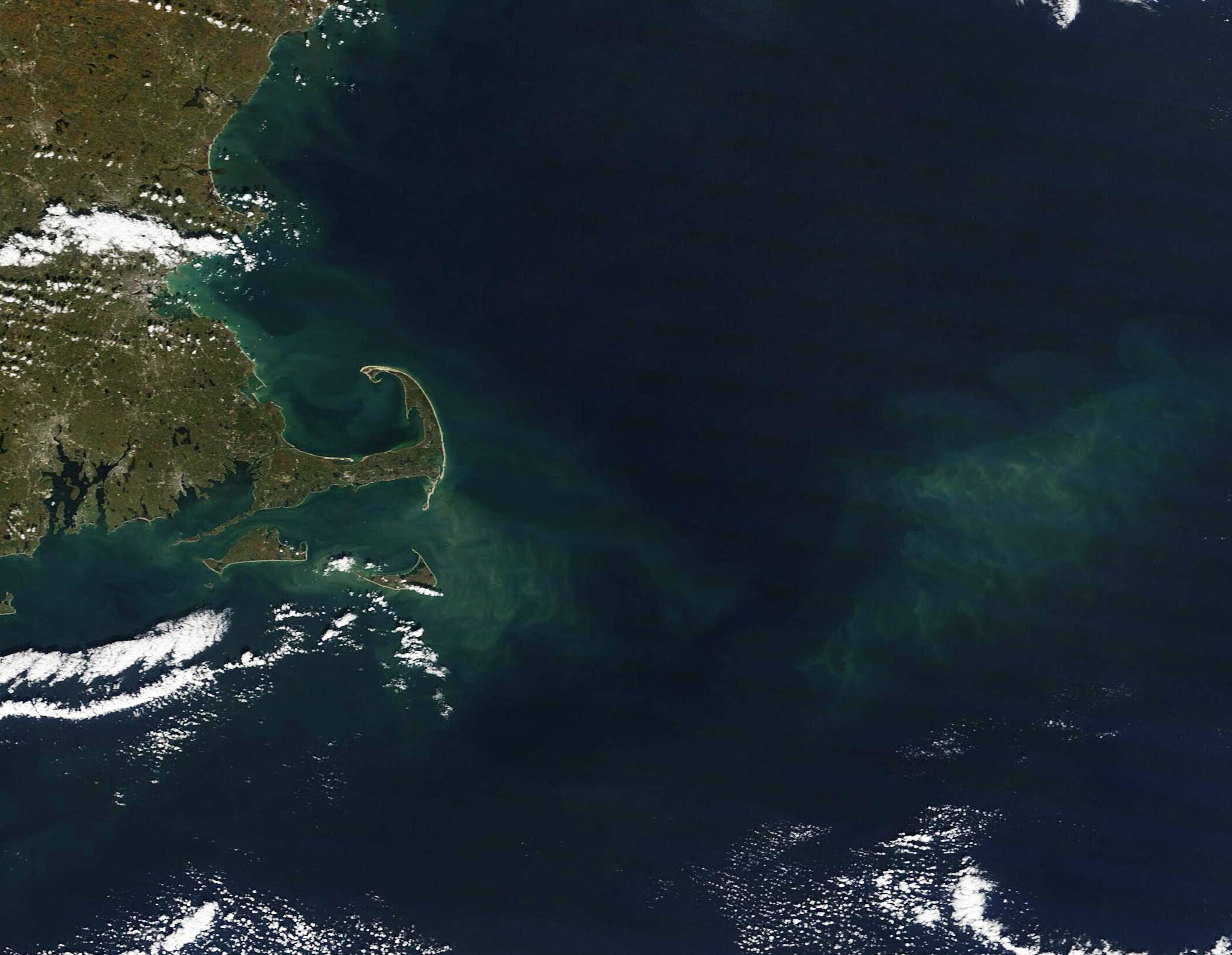
Amelia Island faces several days of flooding concerns, dangerous surf and heavy rain as a nor'easter develops along the Atlantic coast beginning Tuesday, Oct. 6.
The National Weather Service in Jacksonville said Monday that a moderately strong nor'easter will develop Tuesday, bringing strengthening northeast winds, dangerous surf and rip currents, beach erosion and the potential for tidal flooding.
Wind gusts could reach 35 to 45 mph at coastal locations beginning Tuesday, according to the NWS. The agency warned that increasingly rough surf will create a high risk of dangerous rip currents.
Flooding on multiple fronts
Tidal flooding is among the primary concerns for Amelia Island.
A Coastal Flood Advisory is in effect from noon Tuesday through 5 a.m. Thursday for Northeast Florida beaches, including Coastal Nassau County. Minor coastal flooding is expected.
The NWS said tidal flooding could occur around high tides along the Atlantic coast and Intracoastal Waterway as persistent northeast winds push water toward the coast.
Beach erosion is also likely around high tide.
A Flood Watch remains in effect for Coastal and Inland Nassau counties through 8 p.m. Monday. The NWS said additional rainfall of up to 3 inches over already saturated ground could lead to flash flooding.
Excessive runoff could also cause flooding along rivers, creeks, streams and other low-lying areas, as well as in urban areas with poor drainage.
A high rip current risk is in effect from Tuesday afternoon through late Wednesday night.
Heavy rain continues
Several inches of rain are expected across parts of Northeast Florida as tropical moisture interacts with a stalled front ahead of the nor'easter.
In Fernandina Beach, showers and possible thunderstorms are expected Monday night, with three-quarters of an inch to 1 inch of additional rain possible.
Another 1 to 2 inches could fall Tuesday, when the chance of precipitation reaches 100%.
The combination of additional rain and already saturated soil will increase the risk of localized flooding.
What to expect Tuesday and Wednesday
Tuesday will bring showers and possible thunderstorms to Fernandina Beach, with a high near 77. Northeast winds of 10 to 14 mph could gust as high as 23 mph.
Showers and thunderstorms will continue Tuesday night.
Wednesday is expected to remain wet and breezy, with showers and possible thunderstorms and a high near 78. Northeast winds of 15 to 18 mph could gust as high as 28 mph.
While the current Fernandina Beach point forecast calls for lower gusts, the NWS said gusts could reach 35 to 45 mph at some coastal locations as the nor'easter strengthens.
Rain chances and coastal hazards are expected to persist later in the week.
Residents urged to monitor conditions
Residents near tidal waterways, low-lying roads and beachfront areas should monitor forecasts and alerts from the National Weather Service in Jacksonville as conditions develop.
The NWS advises people in flood-prone areas to be prepared to take action if flooding develops and warns beachgoers of dangerous rip currents beginning Tuesday.
.jpg)