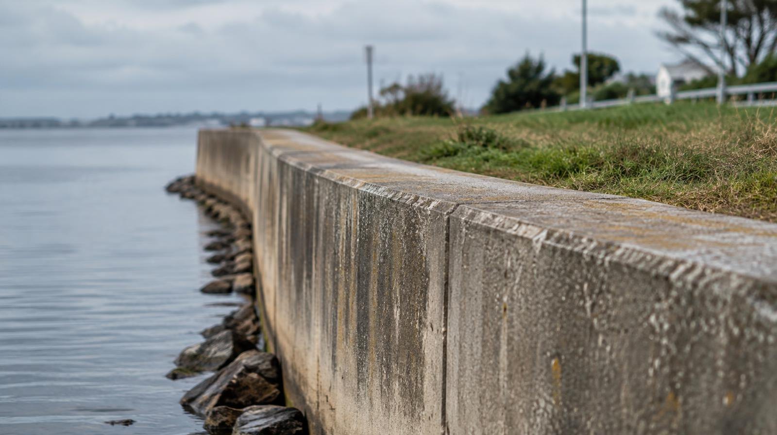
A proposed flood-protection wall that would cross privately owned waterfront land north of the Fernandina Beach marina still faces two major unresolved questions: how the city could ensure property owners build connecting sections and who would pay for them.
The Waterfront Advisory Board voted unanimously Monday, Sept. 28, to send the draft Harbor Master Plan to the City Commission, the Fernandina Observer reported. City project manager Jacob Platt plans to present the plan at an Oct. 20 workshop, when commissioners will meet as the Amelia River Waterfront Community Redevelopment Agency board.
As we reported Sept. 30, the board flagged cost concerns during its review. Details from the meeting sharpen the picture.
Who pays for the flood wall?
Board member Greg Roland pressed Platt on what would happen if some waterfront property owners built sections of the wall and others did not.
"How does the city put in either a statute or ordinance or something that once one, two and three do it, everybody else has got to do it?" Roland asked.
Platt said the city has no seawall ordinance but could explore one covering construction standards. Board members also raised maintenance requirements. Platt acknowledged that building flood protection on private property with public money would require public discussion about how the project would be structured and funded.
Ron Flick, an agent for Simmons Development's Amelia Wharf project immediately north of the marina, told the board the property owner intends to pay for a section of flood wall incorporated into the development. That section would connect with the city's planned flood protection and leave a connection point for a future wall farther north. Flick urged the city to establish a common standard so other property owners could build connecting sections as their properties are developed.
The Phase 1 study, prepared by Moffatt & Nichol, examines nine waterfront parcels north of the city marina toward the port. The city owns one at 101 N. Front St., while the Ocean Highway and Port Authority owns another. The remaining parcels are privately held.
The plan recommends continued discussions about extending flood protection through the waterfront properties, including further talks with the Goodsell, Kavanaugh and Liebman property owners.
Resident Eric Bartelt questioned whether taxpayers could end up paying for a wall that creates usable land beside private properties. Board Chair Jenny Schaffer said that if the city pays for a wall on private land, it should seek waterfront access rights in return.
Two waterfront concepts remain on the table
The draft plan presents two preliminary concepts. Concept A extends marina docks farther north and places a public fishing facility on the Ocean Highway and Port Authority property. Concept B puts a fishing pier at the city's Alachua Street property and uses a different dock arrangement.
The board advanced the draft without choosing either concept.
The city budgeted $50,000 for the Harbor Master Plan. Phase 1 does not include construction cost estimates. Those would be developed as part of a proposed Phase 2.
Commissioners take up plan Oct. 20
At the Oct. 20 workshop, Platt plans to seek support for Phase 2, which would expand public outreach, examine engineering and funding issues and extend the study south of Centre Street.
The entire planning area falls within the Amelia River Waterfront Community Redevelopment Area, which was established in 2005 and is authorized through 2053.
.jpg)